
Records for Derby Neighbors
The safest block search begins with geography, not a person's name. Sedgwick County GIS can establish which parcels visibly share a boundary or street frontage. A parcel card then ties an owner and mailing address to one tax parcel at the time viewed. Deed records can connect recorded parties to the legal description. Derby's association map supplies development names, while election sources use precinct or person-specific fields. None is a live list of everyone physically present.
| Source | What It Shows About a Block | Access |
|---|---|---|
| Mobile Land Records | Visible adjoining parcels, lines, PINs, intersections | Free county map |
| My Local Taxes | Parcel identity, owner, mailing and situs fields | Free county viewer |
| Voter records | Person lookup or precinct and district data | VoterView, inspection, paid request |
| Derby HOA map | Development and association geography | City liaison and map PDF |
| Historical directories | Past households keyed to an address or year | Library and archive research |
Ownership and occupancy are different. A mailing address may be elsewhere, and an owner can be an entity rather than a person. A voter entry is time-specific and may use a protected address. Write down exactly what each source says. If the goal grows from adjoining parcels to an entire named road, use the Derby street directory instead of stretching a block method beyond its purpose.
Derby Neighbors on County GIS
The county Mobile Land Records map accepts an address, PIN, or street intersection. Search the known location, zoom to its parcel, and pan to lots that visibly share an edge or face the same street segment. Select each parcel separately and record its PIN and legal description. The research did not confirm a public radius or buffer control, so do not claim one.
County GIS warns that parcel lines serve tax purposes and are generally within about three feet countywide. They are not a survey. The map supports an adjacency finding, not a boundary dispute or claim about who occupies the land. Review the Sedgwick County GIS resources shown in the captured screen.
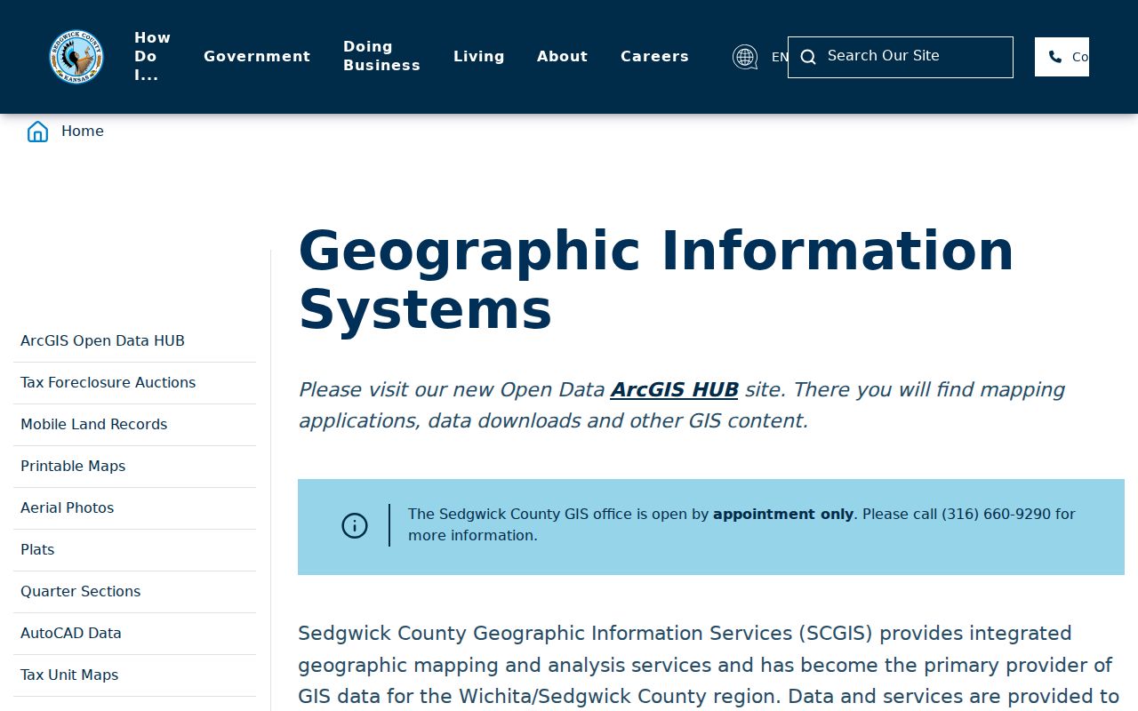
The county page points researchers toward parcel geography and staff help, which are more reliable for a block than an unsourced commercial neighbor list.
Map a Derby Block Outward
Use one Derby address as an anchor and expand only to parcels that the map shows as immediate neighbors. Keep the situs address, which is the physical site, apart from the mailing address. Save the PIN, a parcel identifier, and legal description because they remain stronger record keys when a street name or number changes.
- Find the address or nearby intersection in Mobile Land Records.
- Select the anchor parcel and save its PIN, situs, and legal description.
- Pan to parcels sharing an edge or frontage, then select each one separately.
- Check My Local Taxes for the parcel fields and observation date.
- Use a deed only when a recorded ownership trail is needed. Never infer current presence from the name.
The process is address to parcel, parcel to adjoining parcels, then each parcel to its own record. Do not merge several homes into one household. Note: Visible shared frontage supports a block relationship, not a claim that the owners know one another or belong to the same group.
Derby Neighborhood Association Geography
The official Homeowners' Associations Liaison serves as the first city contact for more than 30 Derby associations. The liaison maintains current association contacts, helps communication, and publishes an HOA map. That map is a geography and development inventory. It does not identify members or certify that a household belongs to an association.
| Map cluster | Named Derby areas | What the label supports |
|---|---|---|
| The Oaks | Cornerside, Courtyards, Longview, Morningside, Summerchase, Villas | Development vocabulary and liaison routing |
| Stone Creek | Parkside, Stillwater, The Coves, Waters Edge | Area comparison on the 2021 map |
| Hamilton | Hamilton Estates, Reserve at Hamilton Estates | Association-level geography |
| Other areas | Northbrook, Park Hill, Springcreek, Timberleaf, Village Lake | Map label, not a household roster |
The map printed May 12, 2021, so ask the liaison for the current contact route. Names such as Amber Ridge, Ashborough, Bel Arbor, Broadmoor Hills, Cedar Ranch, Duck Creek, Glen Hills, Heather Creek, Kensington Place, Oakwood Valley, Rolling Ridge, Southcrest, Tall Tree, Tiara Pines, and Woodlands can help organize a Derby neighbors search without exposing residents.
Derby Service Requests by Place
Derby's SeeClickFix route accepts non-emergency service requests with a category, location, description, and optional photo. Some requests appear on a public map, while private-residence issues are hidden and an account may be required. Treat the tool as a civic issue layer, not a directory of Derby neighbors.
The captured city screen shows the official service route and map context. Check the city source before relying on a visible item because status and privacy can change.
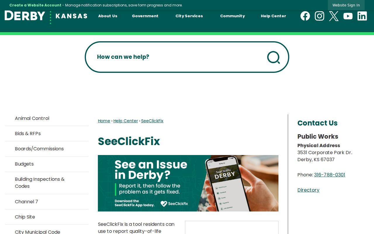
A pin can document a reported street, sign, drainage, or other public-space concern. It does not prove which neighbor submitted it or who lives beside the issue.
Derby Neighbors and Voter Data
K.S.A. 25-2320 allows supervised inspection of registration books and active voter lists during regular office hours, with statutory limits and redaction. VoterView instead requires a first name, last name, and date of birth. It does not publish a block-by-block Derby resident map.
The Sedgwick voter-data form describes countywide flash-drive data and district-level email products. Its fields may include residential and mailing addresses, precinct, voting districts, and registration details. A precinct is larger than a block. Use it to understand election geography, not to guess at nearby names. Protected-address programs and time-specific registration changes also set firm limits.
Note: Keep precinct, parcel, association area, and street block as separate Derby geography fields because none is a substitute for another.
Official Derby Neighbor Sources
Official records and commercial neighbor tools answer different questions. County and city sources state their keeper, field meaning, and map limits. Commercial products may merge old names, phones, and addresses without showing when each item was observed. Use the category only as a lead, then verify against a custodian source.
| Source type | Strong use | Key limit |
|---|---|---|
| County parcel and deed records | Parcel identity and recorded ownership | Not proof of current occupancy |
| City association and service maps | Development names and civic issue locations | No member or resident roster |
| Commercial neighbor tools | Possible spelling or address lead | May be stale, merged, or unsourced |
The official path takes more care, but it preserves the distinction between geography and identity. That distinction matters on a Derby block where a tax owner, mailing recipient, voter, and current occupant may all differ.
Earlier Derby Neighbors by Year
Historical neighbors require a year. Derby began as El Paso, the railroad and depot pushed usage toward Derby, and the city formally adopted Derby in 1956. Search older directories, newspapers, plats, and maps under both place names. A current street map even retains El Paso Drive, a useful prompt to check historical wording rather than assume a modern label always applied.
Library directories, Sanborn material where available, newspapers, atlases, and house-history collections can reconstruct a past block. Match the address, year, street name, and parcel description. If a road changed, Derby's permanent Street Name Files, subdivision files, plats, surveys, and vacation petitions may explain continuity through a focused records request.
Privacy for Derby Neighbor Lookups
Public geography does not erase personal boundaries. Parcel maps may display ownership data, yet they do not list every occupant. Association maps do not reveal members. Voter tools and lists carry specific access limits, redactions, and protected-address concerns. Utility account details, private contact lists, and hidden service-request details are not a shortcut to identifying Derby neighbors.
Record the map date, parcel or intersection key, source URL, and development label when relevant. State clearly that geographic adjacency is not personal identification. If a protected or substitute address appears, preserve that boundary rather than trying to match it indirectly through another record.
Lawful use. Use Derby neighbor records for civic curiosity, reconnecting, or personal safety awareness. Never use them to watch, intimidate, harass, or harm anyone.